Overview
The Machine Refuses is a project that explores the limitations and failures of Google Earth as a mapping tool. We treat Google Earth as a window unaware of its function as a Game Engine with the same designed, and undesigned limitations. Push it out to the edges of its range and the illusion starts to break. Textures stretch, coastlines smear, and the polished surface gives way to grey-boxed ground underneath.
This project is a survey of those points. It treats the moment the picture stops holding together as evidence of the machines design.
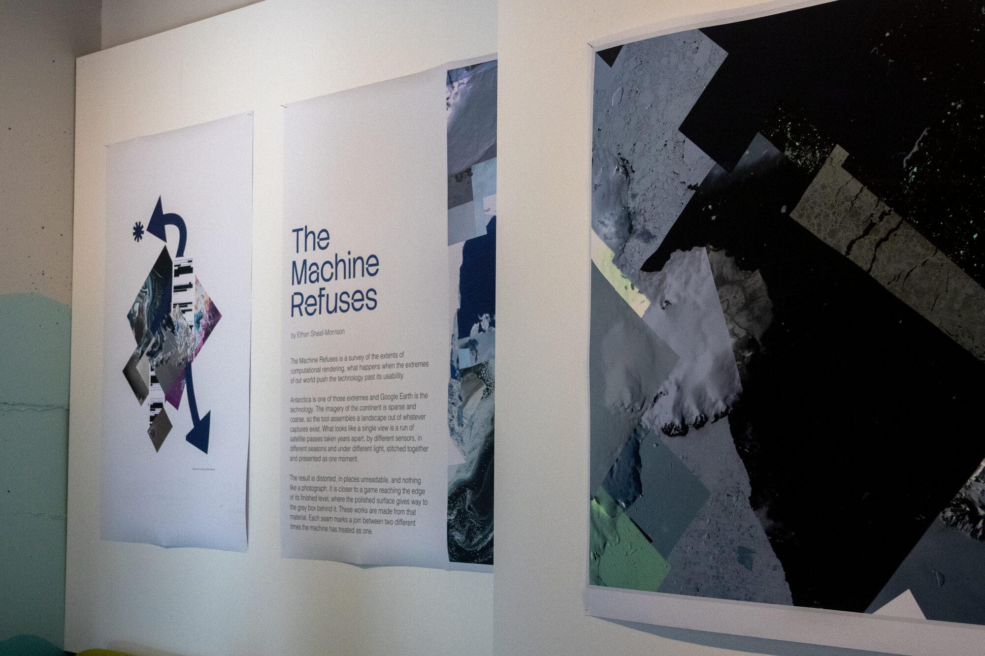
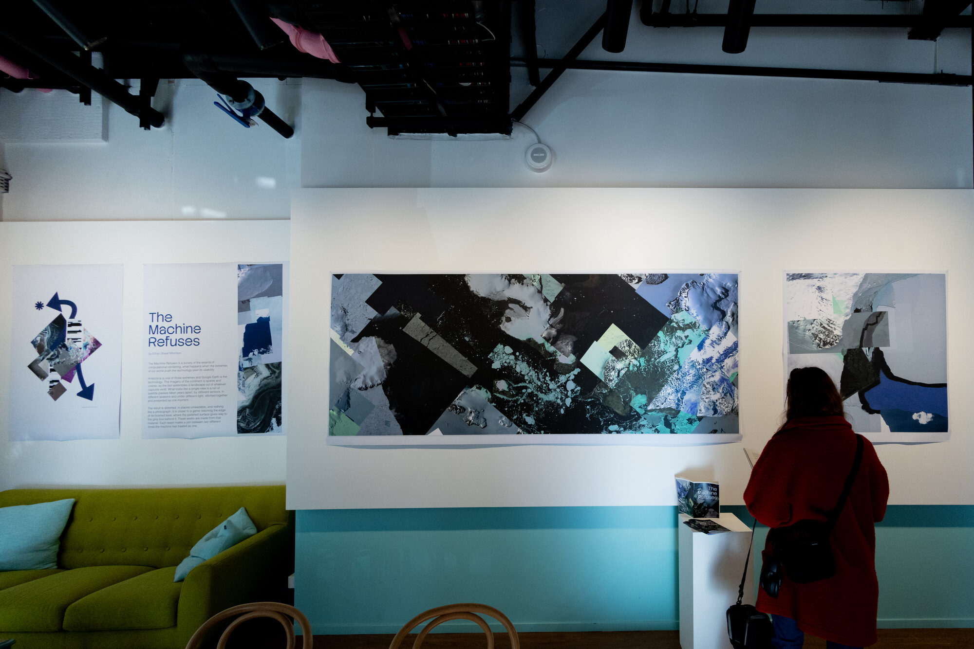
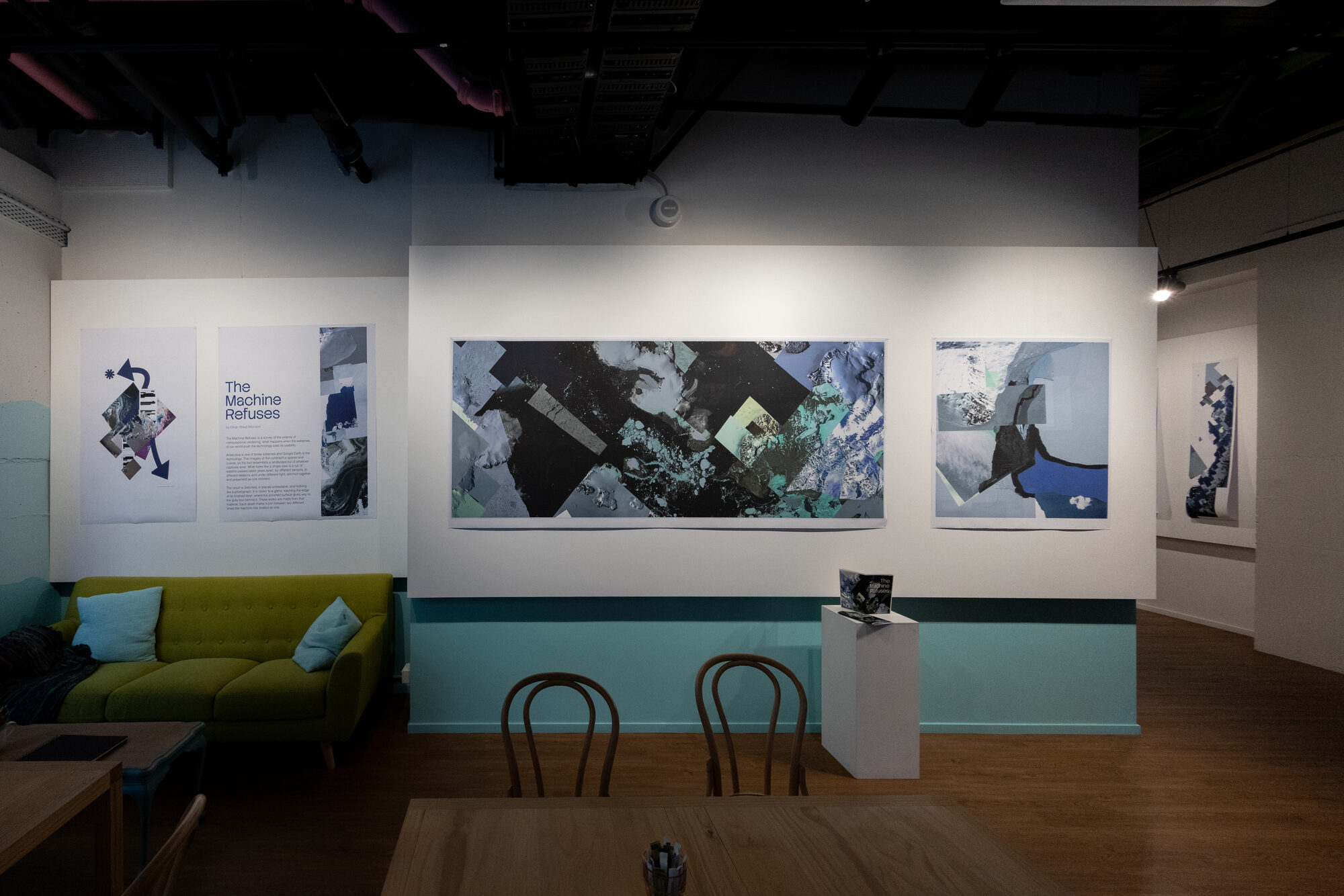
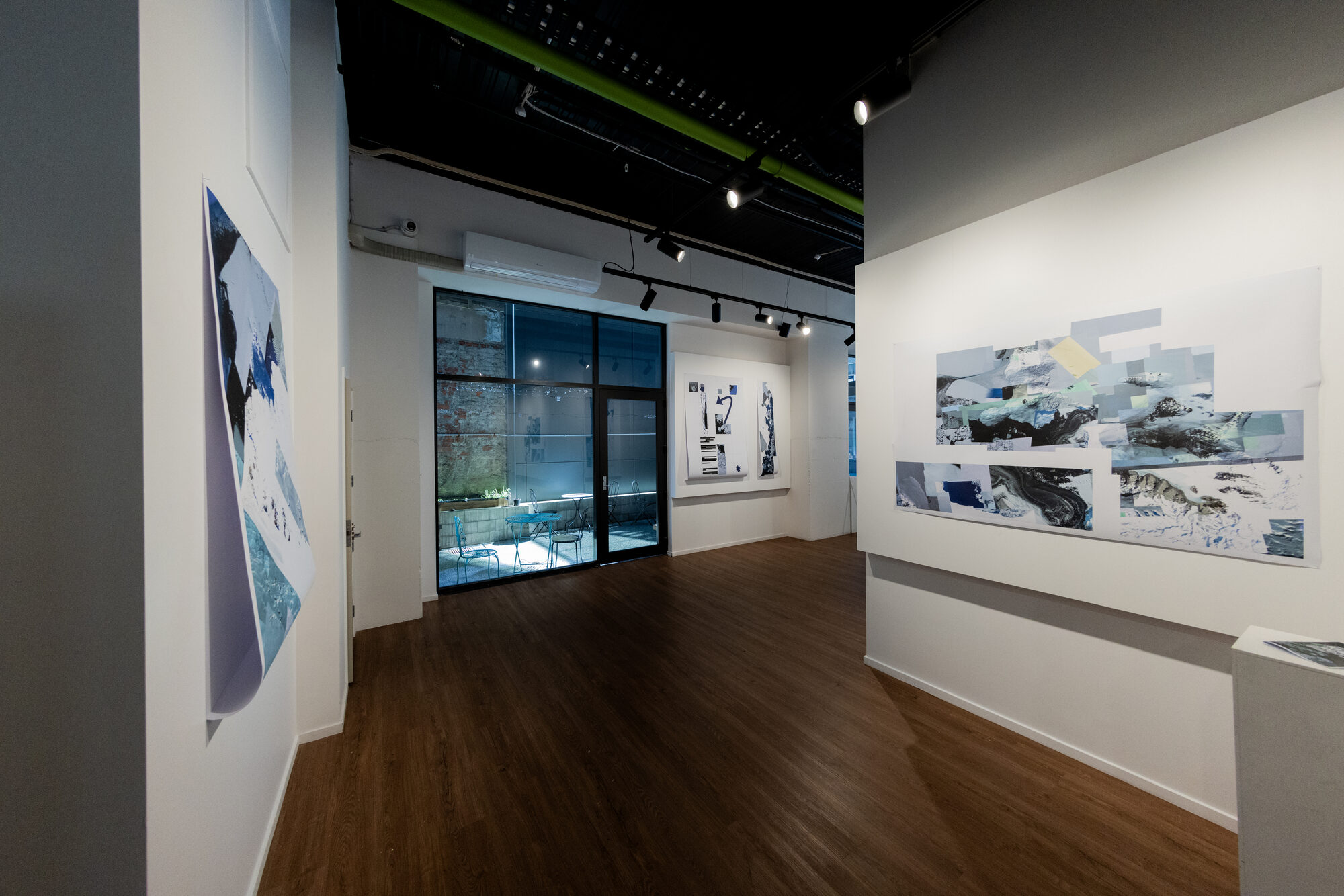
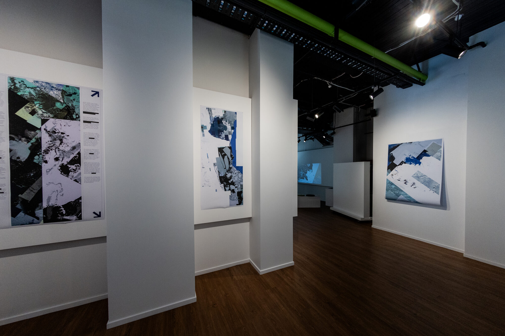
Antarctica is the case study of the technology’s extreme. Imagery of the continent is sparse, so the tool assembles a landscape out of whatever captures exist. What looks like a single view is a run of satellite passes taken years apart, by different sensors, in different seasons and under different light, stitched together and presented as one moment.
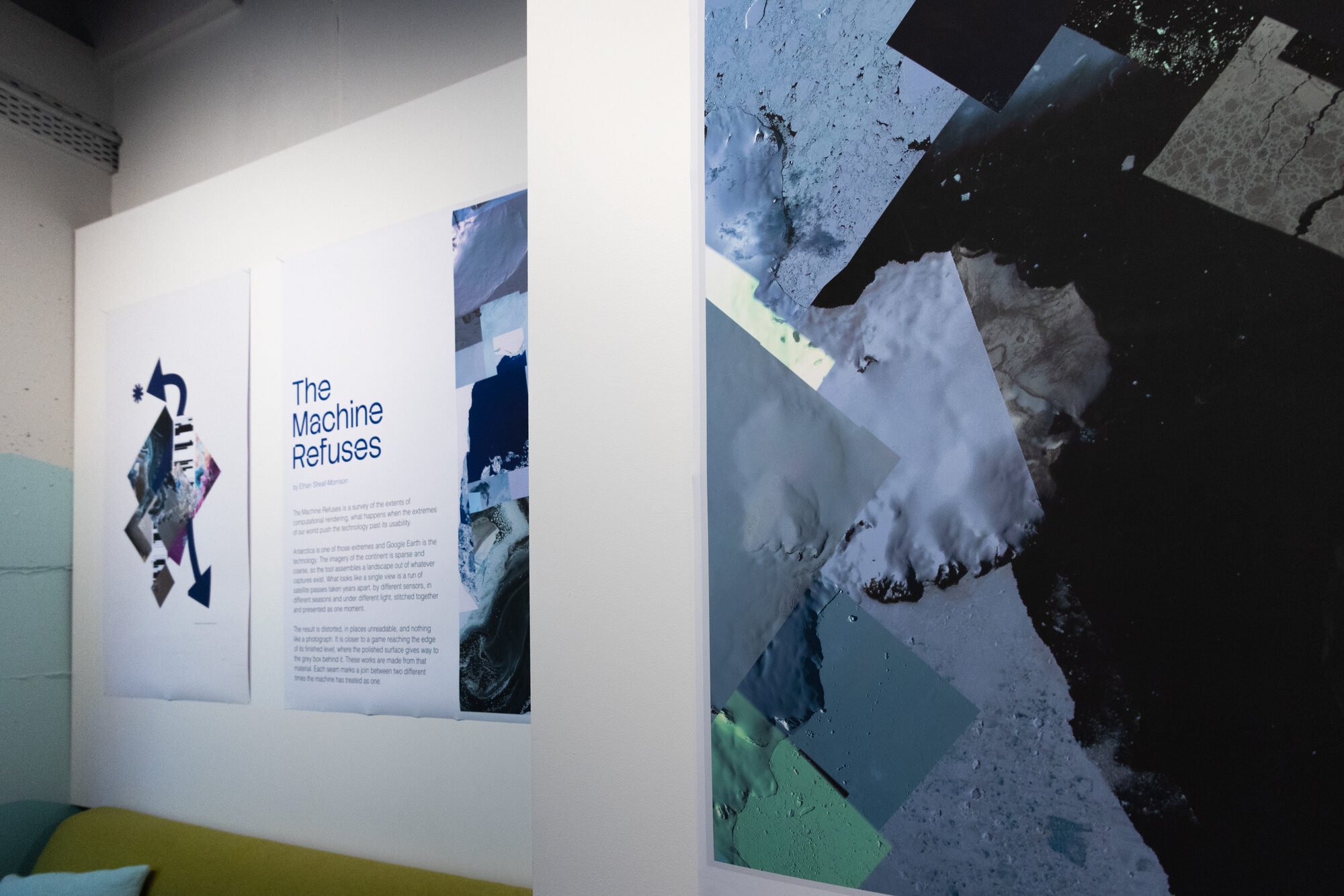
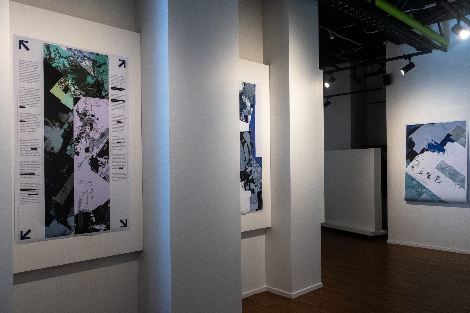
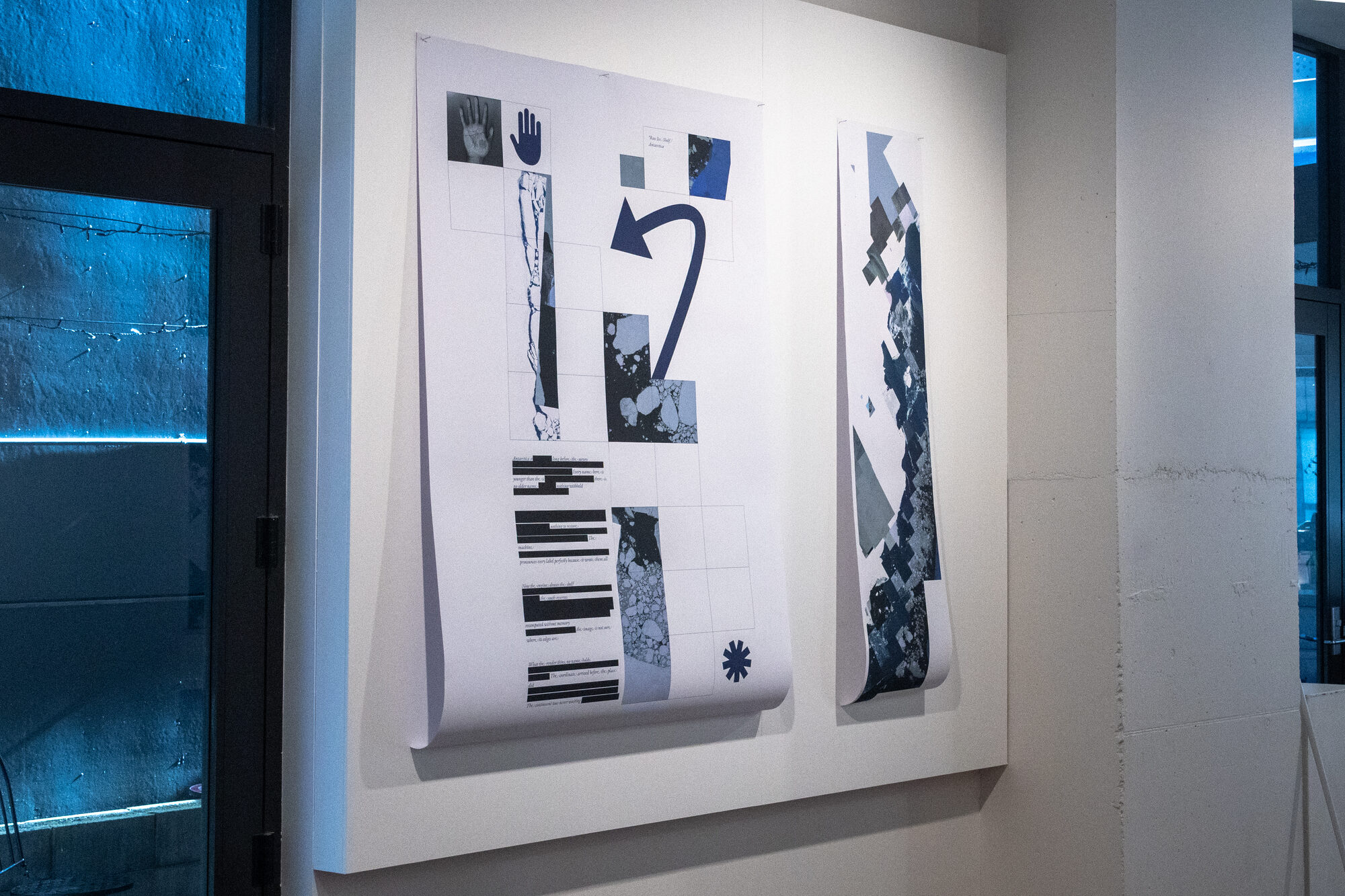
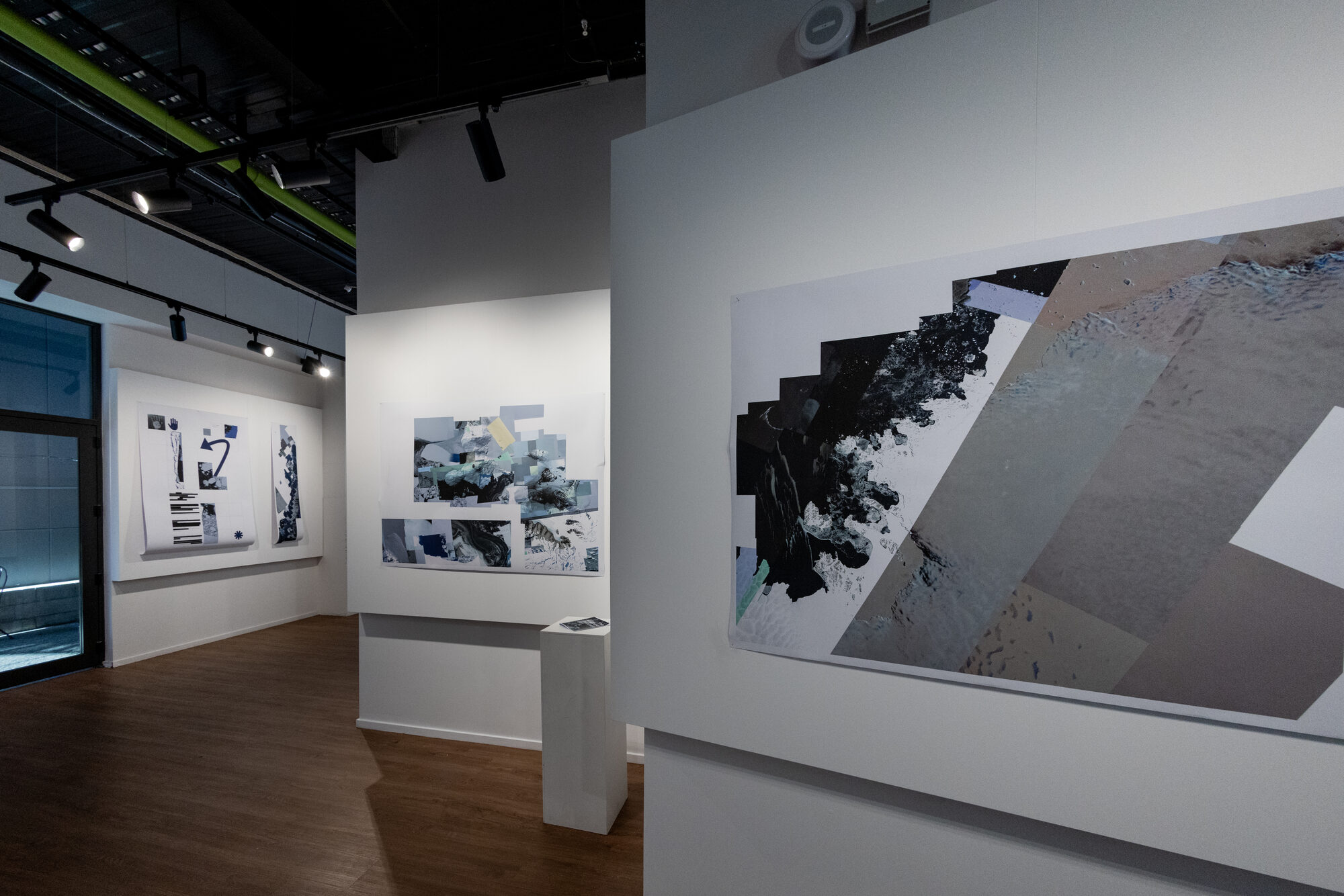
Antarctica is the limit case. A continent that is all periphery, drawn at the coarsest resolution anywhere on Earth, with small research stations rendered sharply inside it. A settlement drawn carefully inside a continent drawn badly is the whole argument in one frame.
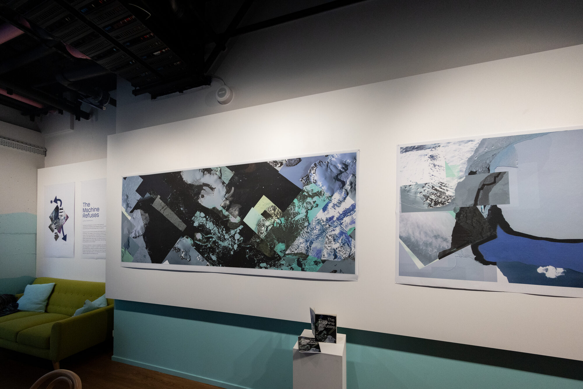
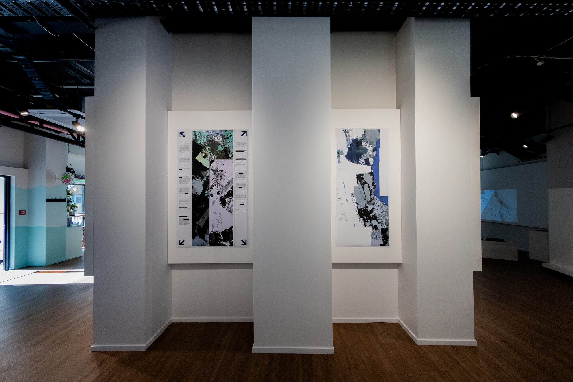
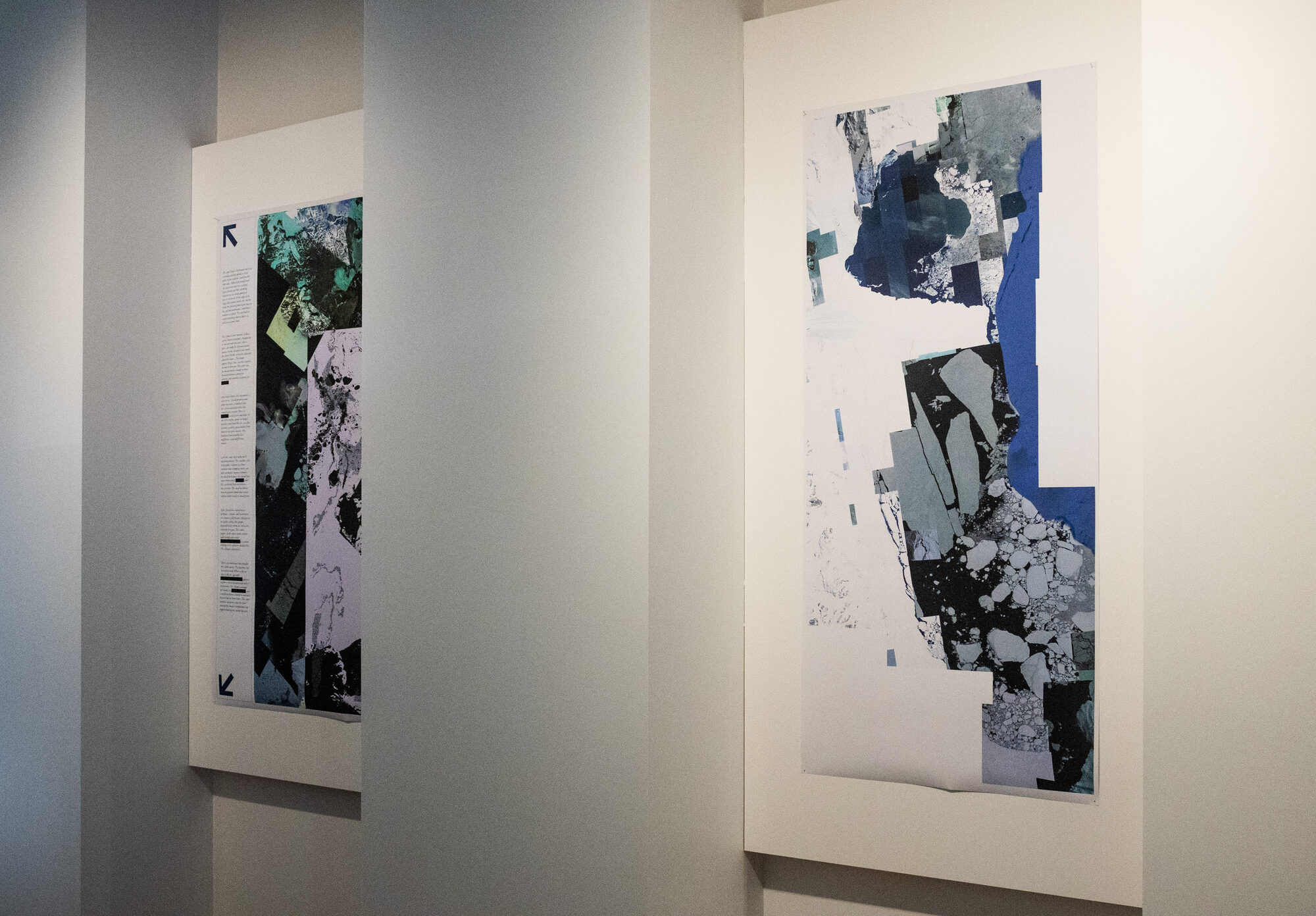
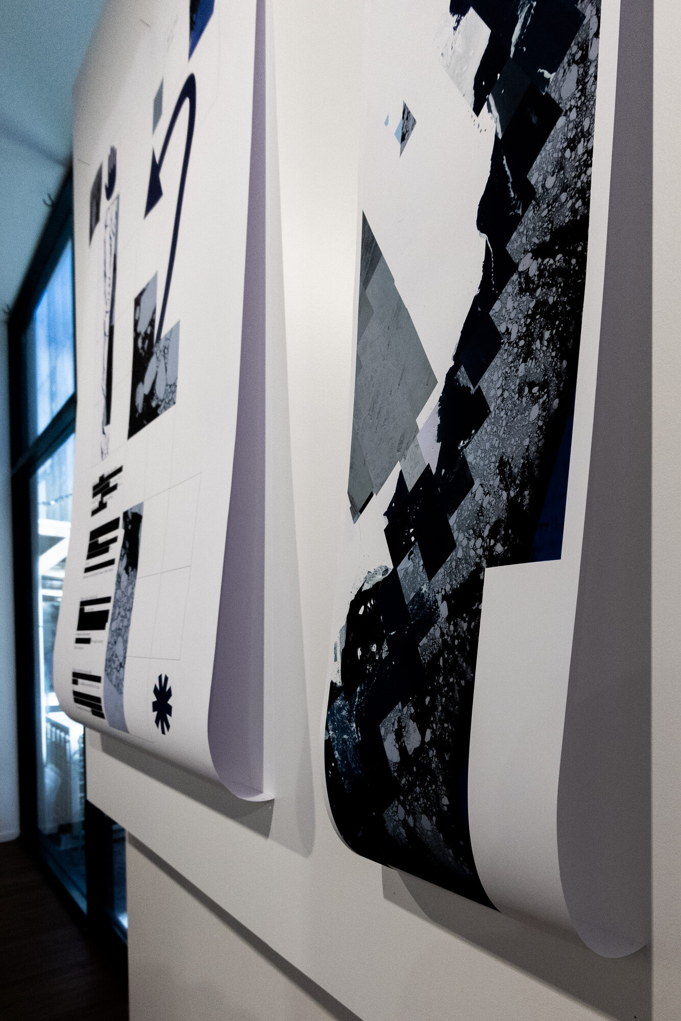
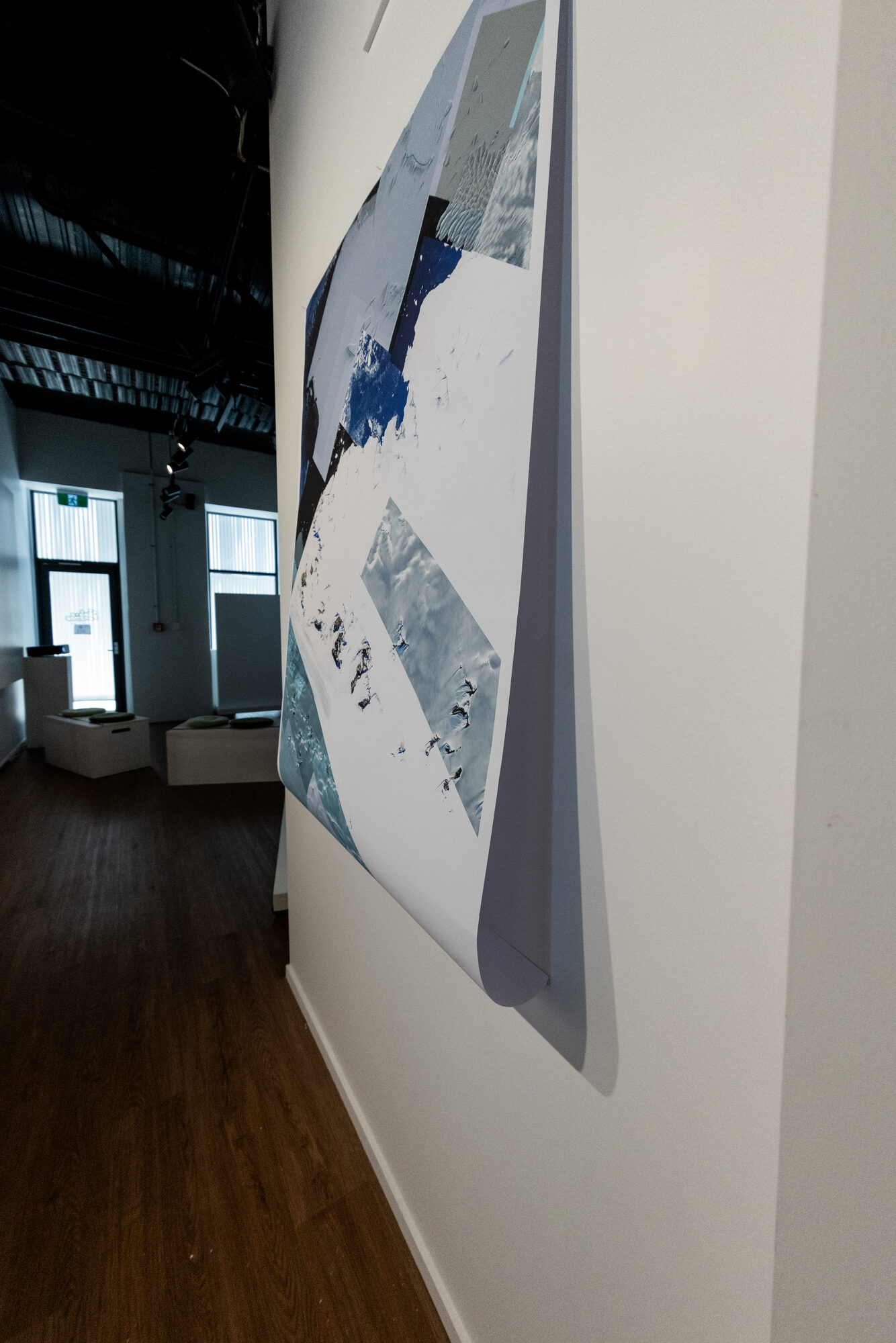
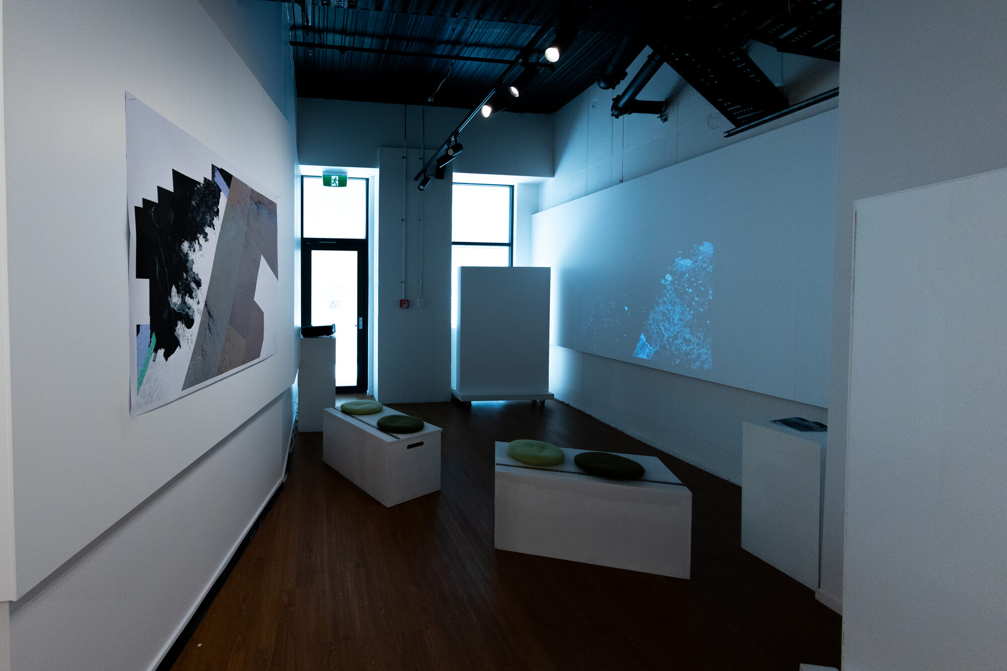
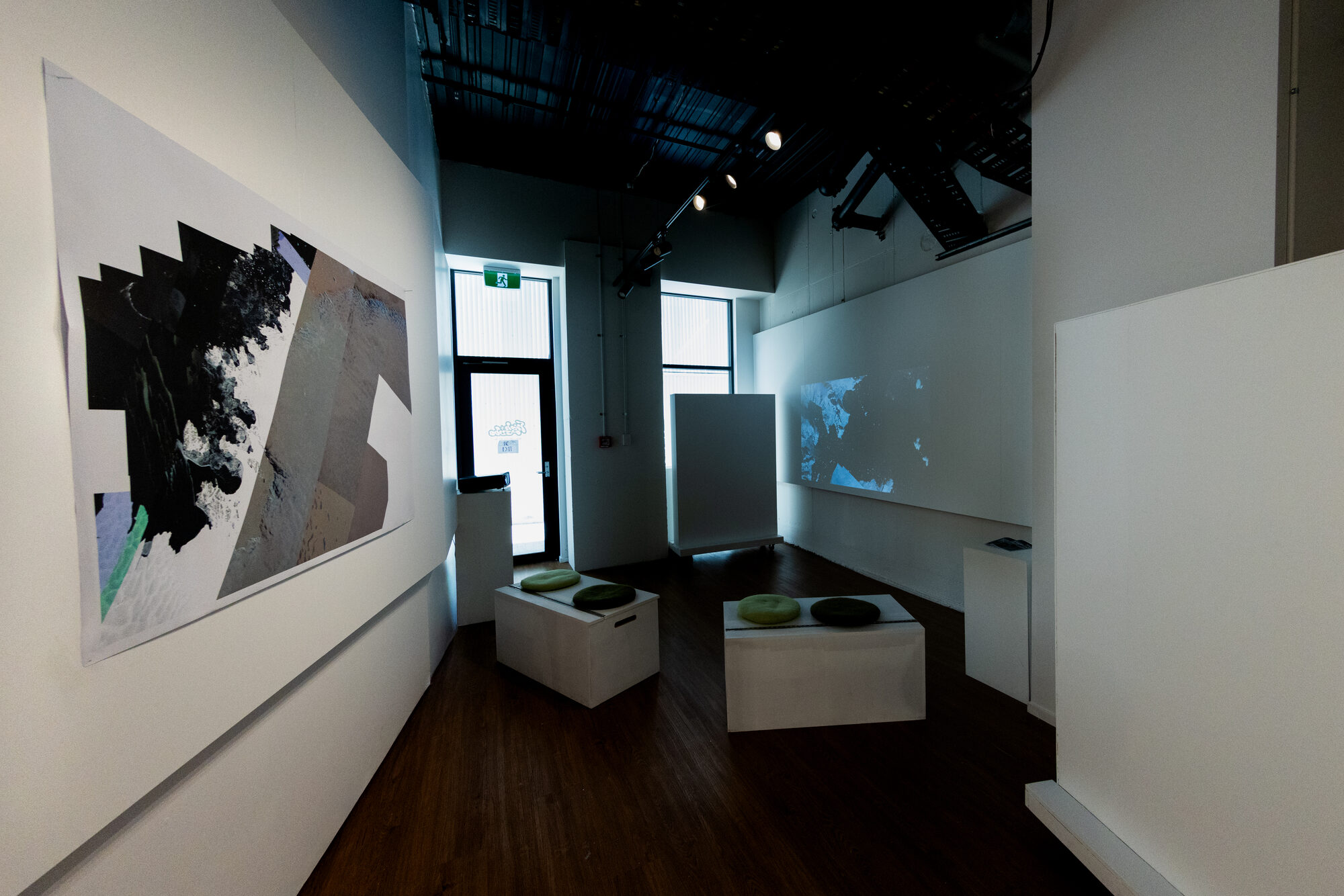
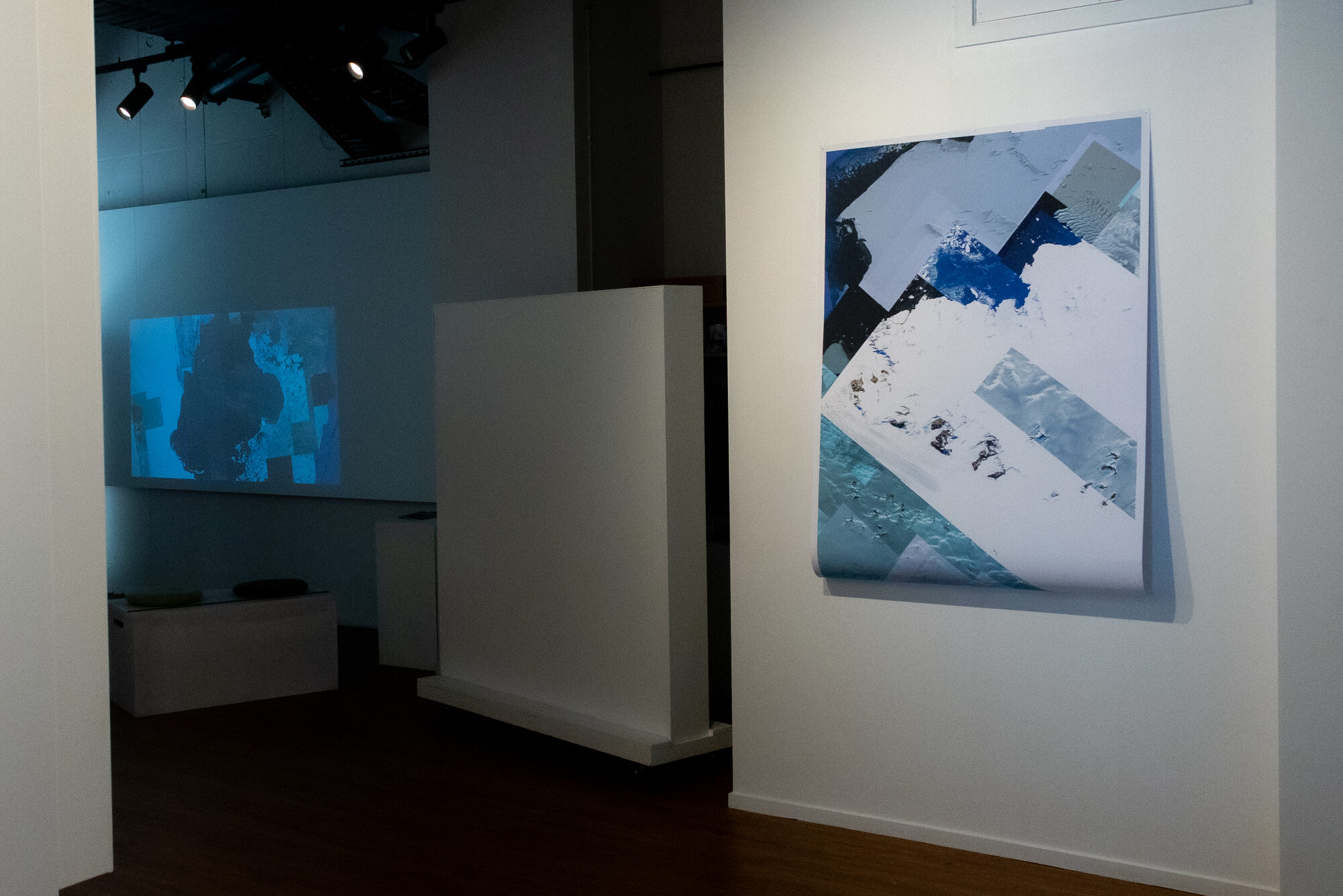
Each seam marks a join between two different times the machine has treated as one.
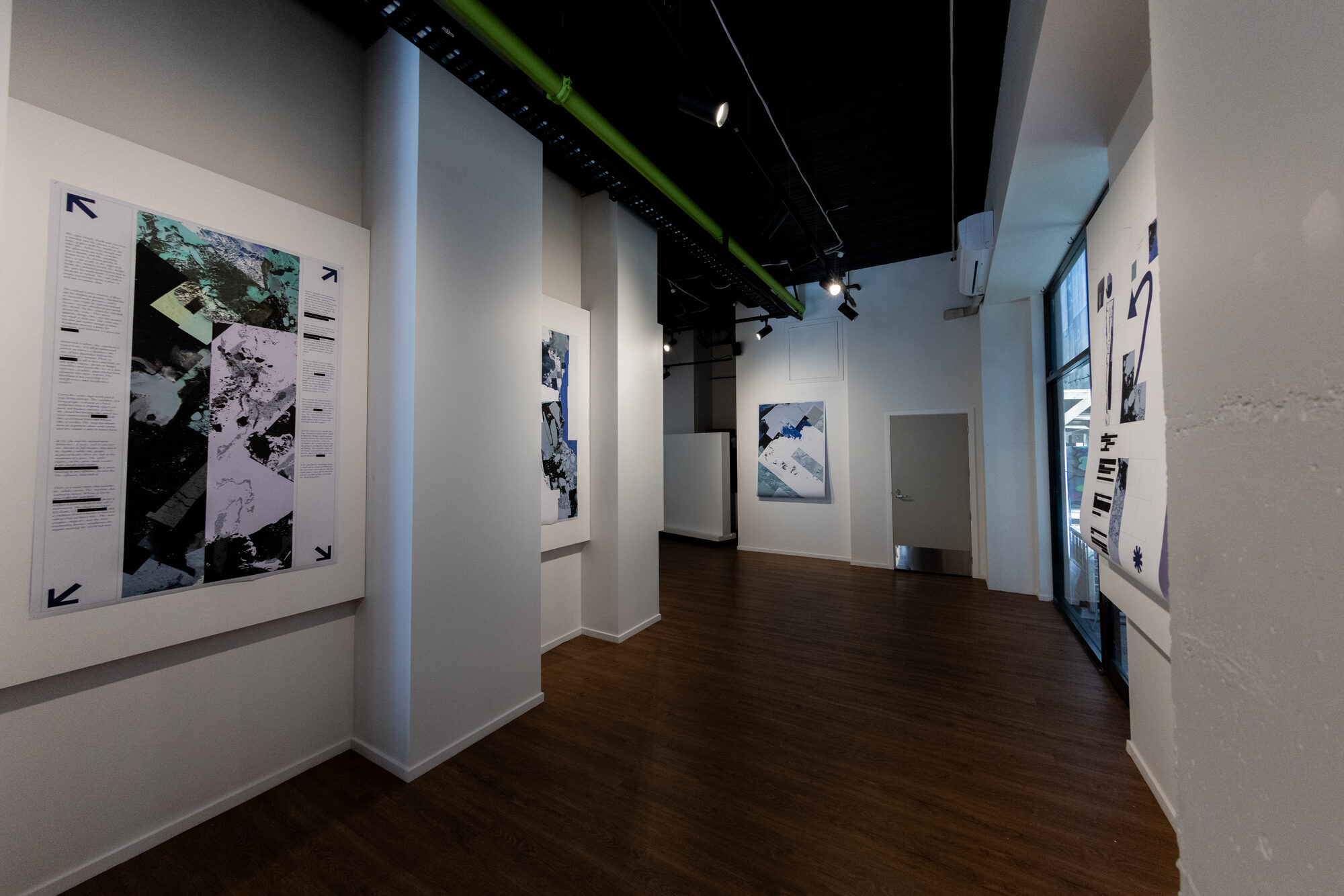
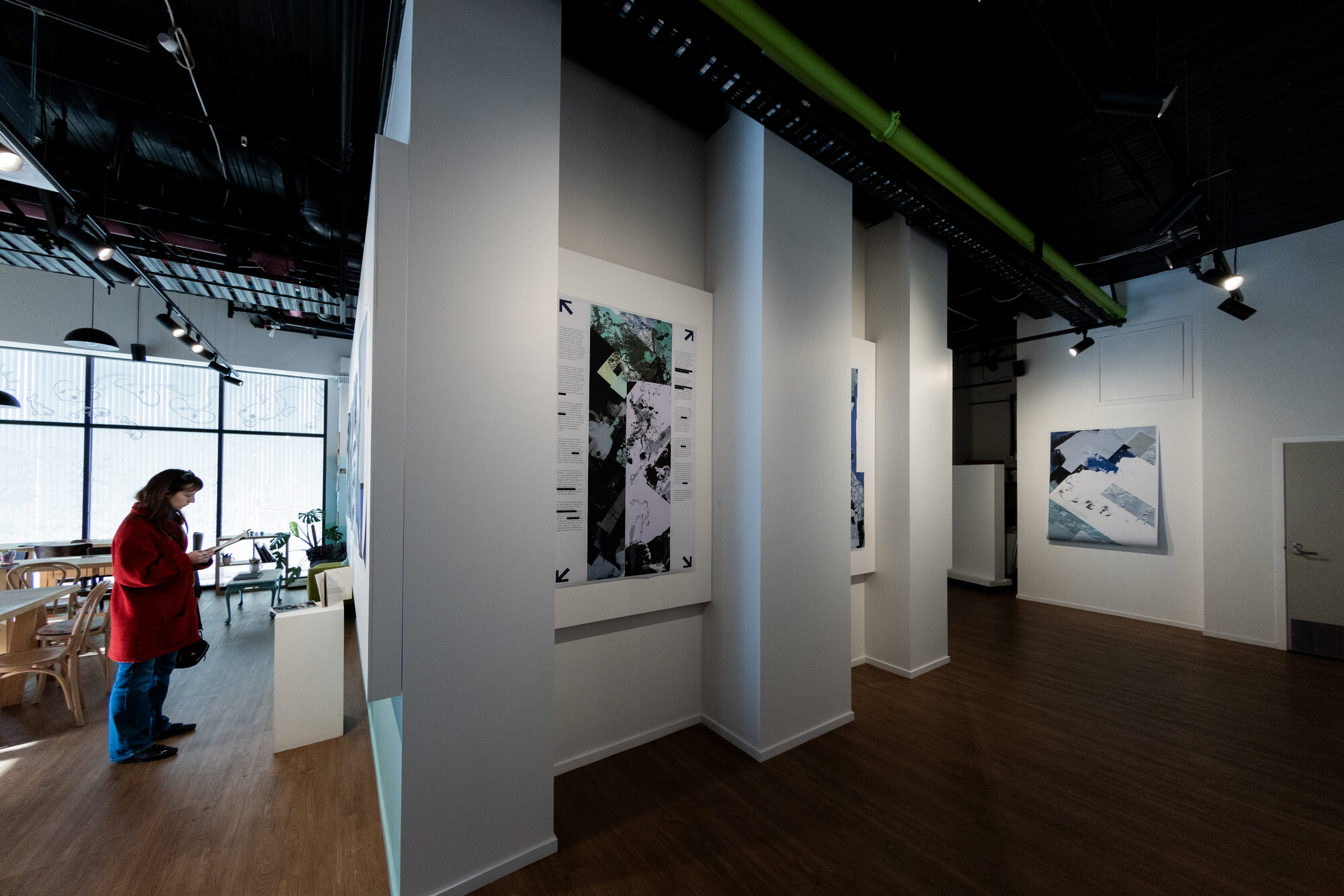
They are printed on unmounted paper and hung loose. The sheets curl away from the wall at the bottom edge, which does the same work the imagery does — it refuses to sit flat and pretend to be a window.
The exhibition

Tools
-
Google Earth and public satellite archives
-
Affinity
-
Large-format printing
Gallery